TURKS AND CAICOS
Island Adventure
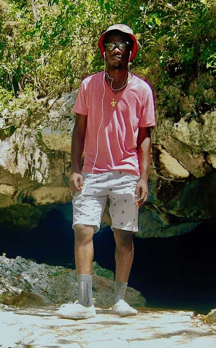
By Michelle Pratico
Asheville, NC, United States
Turks and Caicos is a group of about 57 tropical islands in the Lucayan Archipelago of the Atlantic Ocean and northern West Indies. It lies southeast of the Bahamas and north of the island of Hispaniola, which is split between Haiti and the Dominican Republic.
Turks and Caicos is a territory of the United Kingdom. It is home to the third largest barrier reef in the world, as well as more shades of blue than you can imagine. There are said to be 26 different hues in the waters of the famous Grace Bay alone!
Getting Around
If you could take all the islands and squish them together, you would have an area of only 238 square miles. Not very big for a whole country, but getting from one island to the next can require multiple modes of transportation and more time than you would ever expect.
One afternoon, I decided I wanted to explore the Conch Bar Caves on Middle Caicos. As I’m sure you know, the shortest distance between two points is a straight line. Unfortunately, since I’m not a bird, I couldn’t take the quick route of just 22 miles. Instead, at 8:00 AM the next morning, I set off from my home in the town of Providenciales on my bike.
To get to the North Caicos ferry was a 3.25-mile ride, which took me about 25 minutes. After a short wait, I got on the ferry and enjoyed the 30-minute, 12-mile ride past various cays (small islands) to my next stop on North Caicos. I then hopped in a car and drove 45 minutes, or 24 miles, to the caves. (This does not include all the time I spent getting lost!)
Bring Bread Crumbs
At 1.5 miles long, the Conch Bar Caves form the largest dry cave system in all of the island chain. There is evidence that the caves were used by humans during the pre-Columbian era. That’s all the way back before Christopher Columbus made his voyage in 1492!
When I got to the caves, I was met by a local resident named Dimitri. A 22-year-old native of the islands, Dimitri was born on North Caicos and currently lives on Middle Caicos. He knows the caves very well, because his father used to be the guide. Dimitri grew up exploring every nook and cranny of the cave system. One time, when he was nine years old, he lost his way, and his father had to go looking for him.
Inside the caves there are stalagmites and stalactites that have been forming for many, many years. A stalagmite and a stalactite grow together to create a column. In these caves, columns can reach up to 15 feet in height. Dimitri told me that it takes 100 years for a stalagmite or stalactites to grow just one centimeter. Wow, that makes those columns really old!
Dimitri also showed me the four species of bats that live in the cave. He even took me to a part of the cave that’s completely dark. I couldn’t even see my hand in front of my face.
More Than a Job
Showing people the Conch Bar Caves is more than just a job to Dimitri. They’ve been a part of his life since he was a young child, and he’s proud the caves are in his lineage. He told me that what he wants visitors to experience is “laughter, and most importantly [to see] just how amazing Mother Nature can be.” He certainly succeeded with me.
Thank you, Dimitri, for your knowledge and hospitality.
Have a suggestion for this story? We’d love for you to submit it!


Blank
Blank
Math Resources
Once Michelle arrives on North Caicos, she takes a car traveling 35 miles per hour to Conch Bar Caves. At the same time, Dimitri leaves Conch Bar Caves in a pickup truck traveling 42 miles per hour toward the North Caicos ferry dock. When and where will they pass each other on the road?
- Step 1: Find each vehicle’s average speed in miles per minute.
- Step 2: Make a table to record the distance from Conch Bar Caves for each vehicle.
- Step 3: Define variables and plot the information from the table onto a graph. Using a different color for each vehicle, plot its coordinates.
- Step 4: On the graph, do the points for each vehicle seem to fall on a line? Does it make sense to connect each vehicle’s points in a line? If so, draw the line. If not, explain why not.
- Step 5: Where does the starting value for each routine appear on the graph? How does the recursive role for each routine affect the points plotted?
- Step 6: Which line represents Michelle? How can you tell?
- Step 7: Where are the vehicles when they meet?
- Step 8: Which vehicle will arrive at its destination first?
Extension Question
During the late 19th century, people used Conch Bar Caves for collecting bat guano. All original archaeological artifacts were lost during this period. Visitors continued to treat the caves carelessly, leaving graffiti behind and disturbing the bat population. Nowadays, anyone wanting to view the caves must be accompanied by a guide. Do you think that is enough protection or would you recommend additional measures be taken?
Explore Further
- Website of the Turks and Caicos National Museum
- Information on stalactites and stalagmites
- Details about visiting as a tourist
- Facts about bats
Share Your Story
Write your own Global Math Story and send it to us!
Sorry, the comment form is closed at this time.