NEW YORK
The Greatest Grid
By Marisa Laks
New York City, NY, United States
New York City, located in the state of New York, consistently ranks in the top ten for its number of international visitors. Many of its tourists seek out the island of Manhattan for famous attractions like Central Park and Times Square. Manhattan also has a feature that makes it an easy place to navigate: its roads follow a pattern that corresponds to compass directions.
Manhattan is geographically the smallest of New York City’s five boroughs, measuring 13.4 miles long and 2.3 miles at its widest point. It is angled in a direction about 29° east of true north. New Yorkers refer to the roads using simple compass directions of north, south, east, and west.
History
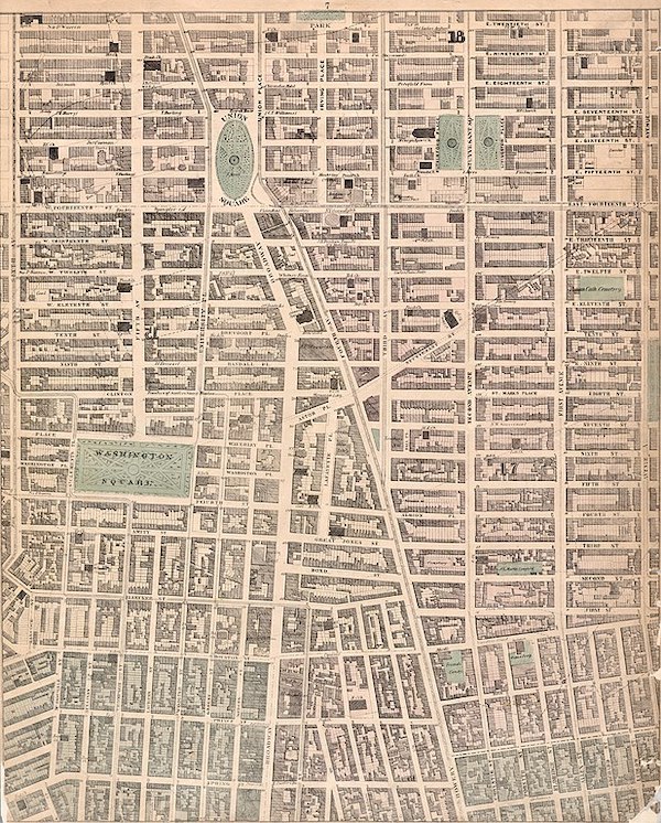
 For the first European settlers, finding their way around the island was anything but linear. During the 17th century, Dutch immigrants colonized the southernmost tip of Manhattan in a haphazard manner. Over time, as the town grew, leaders began to call for a plan to guide development more methodically. In 1811 they approved a design that laid out a grid with parallel and perpendicular thruways.
For the following 60 years, workers cleared the existing land, roads, and buildings to make way for the new system. By 1900, New Yorkers had built the grid past its original endpoint at 155th Street.
The System
The roads that run north and south are called avenues. They are numbered from 1 to 12, starting in the east. There are a few extra avenues in between that have names instead of numbers. The famous boulevard known simply as Broadway, for example, runs diagonally through Manhattan from northwest to southeast.
The east–west roads are called streets. They are equally spaced and numbered from one to 220. Avenues divide streets into blocks so that 20 blocks make up one mile. If you walk from 23rd Street to 63rd Street, you will have covered two miles.
Vertical Growth
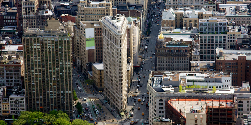
New York City’s expansion didn’t just move horizontally across the surface of the land. With a booming economy, people started building vertically, also. The first skyscraper was the Flatiron Building, completed in 1902. Its 22 stories made it one of the first steel-framed skyscrapers in the world. Situated on a triangular plot of land, its northernmost edge was located at the intersection of Broadway and Fifth Avenue. It has an angle measure of approximately 25°. The 22nd Street side of the building is fewer than 87 feet wide. Its base forms a right triangle.

By 1930, New York City had over 10 million residents, so skyscrapers grew larger and taller to accommodate them. The Chrysler Building was erected during that era at the intersection of 42nd Street and Lexington Avenue. It has 77 floors and was the tallest building in the world until the Empire State Building overtook it one year later. The Empire State Building is 102 stories high and covers an entire city block. It reigned as the tallest skyscraper in New York City until the World Trade Center opened in 1973.
Finding Your Way
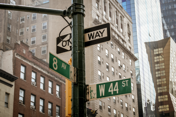
When giving directions in Manhattan, New Yorkers say the avenue and the cross streets to help people locate the address. For example, a New Yorker would tell a tourist to find the Flatiron Building on Broadway between 22nd and 23rd Streets. The Empire State Building is on Fifth Avenue between 33rd and 34th Streets.
A handy formula can be used to calculate the cross streets for a building on a numbered avenue. It involves dividing the number of the address by 20 and adding a key number that ranges from -31 to +165.
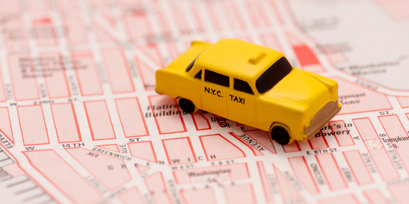
Manhattan also is home to a style of math called taxicab geometry. If you want to move from one location to another, you can only move in a horizontal or vertical direction. Measuring distances using this type of movement gets its name from how taxis travel.

Manhattan’s planned design helps New Yorkers and visitors find their way around the city. Next time you are in New York City, leave your map at home and try navigating on your own!
Have a suggestion for this story? We’d love for you to submit it!


Blank
Blank
Slideshows
Are you a teacher who’s interested in telling this story to your students? Here are slideshows to get you started.
Math Resources
- How many years ago was the Manhattan grid designed?
- Central Park starts at 59th Street and ends at 110th Street. How long is Central Park in miles?
- How many more floors does the Empire State Building have than the Chrysler Building?
- What is the approximate area of Manhattan in square miles?
Social Justice Questions
Historical lore describes a 1626 meeting during which Manhattan Island was sold by the Indigenous inhabitants to Dutch settlers. Scholars now dispute this interpretation of the event. For example, they contend that the Indigenous people would have interpreted the trade as an agreement to share the land. Moreover, the tribe who received the Dutch goods may not have been the same one who actually lived on the island.
Regardless of the questionable legality of the transaction, the Dutch colonists forced the Indigenous residents to migrate elsewhere. How would you address this injustice now? What action steps would you recommend?
Explore Further
- City Museum of New York’s Greatest Grid site
- Street locator for New York City
- Video explanation of the grid
- More information about Indigenous history
- What taxicab geometry looks like
Share Your Story
Write your own Global Math Story and send it to us!
Sorry, the comment form is closed at this time.